

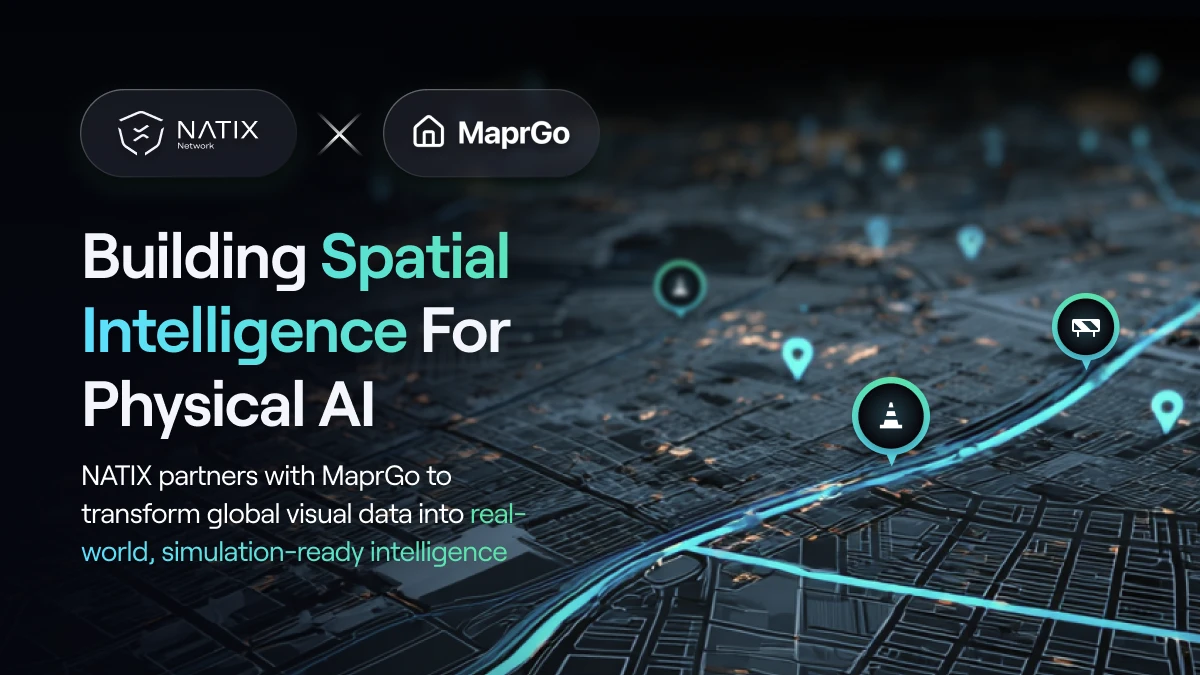
The next generation of AI will operate in the physical world. To make that possible, autonomous vehicles, robotics platforms, simulation systems, and digital twins depend on structured real-world data that captures how roads, infrastructure, and traffic change over time.
That is what the partnership between NATIX and MaprGo delivers: global visual data combined with powerful spatial AI capabilities.
NATIX will supply large-scale global street-level visual data through its Internet of Cameras, while MaprGo brings an advanced spatial AI platform that turns that raw visual input into machine-readable intelligence for simulation, autonomy, and other Physical AI applications. This collaboration marks an important step toward building dynamic AI-driven infrastructure for Physical AI applications.
MaprGo is a spatial AI platform built to convert large-scale visual observations of the physical world into structured machine intelligence. Its semantic engine processes massive volumes of imagery and extracts the kinds of signals autonomous systems need to interpret roads, infrastructure, traffic behavior, and environmental context. Its customers include global automotive OEMs, leading EV manufacturers, major digital mapping platforms, and Fortune 500 firms.
MaprGo focuses on the layers of spatial intelligence that are both the most important and the hardest to maintain. These include road signs, lane geometry, street assets, infrastructure conditions, POIs, traffic patterns, and compliance-related elements that change constantly in the real world.
What makes MaprGo unique is its ability to process global imagery at scale and convert it into detailed, multi-layered spatial intelligence for Physical AI systems. This is exactly the type of technology required for next-generation ADAS, autonomous vehicles, robotics, and city-level digital twins.
Training Physical AI requires realistic environments that reflect how the real world actually behaves. Through this collaboration, MaprGo and NATIX generate OpenSCENARIO datasets, build simulation-ready environments, and create data components used by autonomous driving stacks and other Physical AI systems.
These assets are essential for AV developers, robotics teams, simulation platforms, and AI systems that rely on accurate representations of the physical world. Instead of manually designing scenarios or relying on limited areas of coverage, MaprGo can now construct realistic, data-driven environments at a global scale using NATIX multi-camera data.
This accelerates development cycles for any team building autonomy, from L2 driver-assistance features to full L4 autonomous driving systems. It also enables large-scale scenario generation, where real-world driving data is converted into structured traffic situations that can be replayed and expanded in simulation. This allows developers to train, test, and validate autonomous systems against thousands of realistic interactions and rare edge cases that would be difficult or unsafe to recreate on public roads.
MaprGo gains global scale, continuous real-world updates, and a larger stream of diverse visual data. NATIX strengthens its position as a foundational data provider for the mobility intelligence and Physical AI ecosystems.
Together, the two companies deliver globally scalable intelligence enriched with deep spatial understanding of the physical world.
NATIX brings global coverage through its Internet of Cameras, collecting street-level multi-camera imagery. MaprGo brings the AI that turns this global imagery into structured spatial intelligence that powers mapping systems, autonomous driving stacks, mobility analytics, and broader Physical AI applications. By combining these two assets, the partnership unlocks capabilities that were previously impossible to achieve at a global scale.
NATIX’s real-world data feeds directly into MaprGo’s spatial AI platform, enabling:
This level of detail supports autonomy development, infrastructure monitoring, and Physical AI research. It also allows MaprGo to expand its geographic coverage rapidly and cost-effectively, powered by NATIX’s global network rather than traditional survey fleets.
The collaboration between NATIX and MaprGo marks an important step toward dynamic AI-driven spatial intelligence for the physical world. NATIX provides the global visual data. MaprGo provides geospatial intelligence. Together, the two companies create the infrastructure needed for the next generation of simulations, mobility systems, and Physical AI applications.
The spatial intelligence systems of the future will not be created by a few dedicated vehicles on the road. They will be built by millions of contributors, millions of devices, and highly capable AI pipelines that transform raw visual data into a meaningful understanding of the physical world. NATIX and MaprGo are now aligned around that future.
This is only the beginning. The partnership lays the groundwork for a new era of spatial intelligence built on global data, advanced AI, and continuous real-world updates.